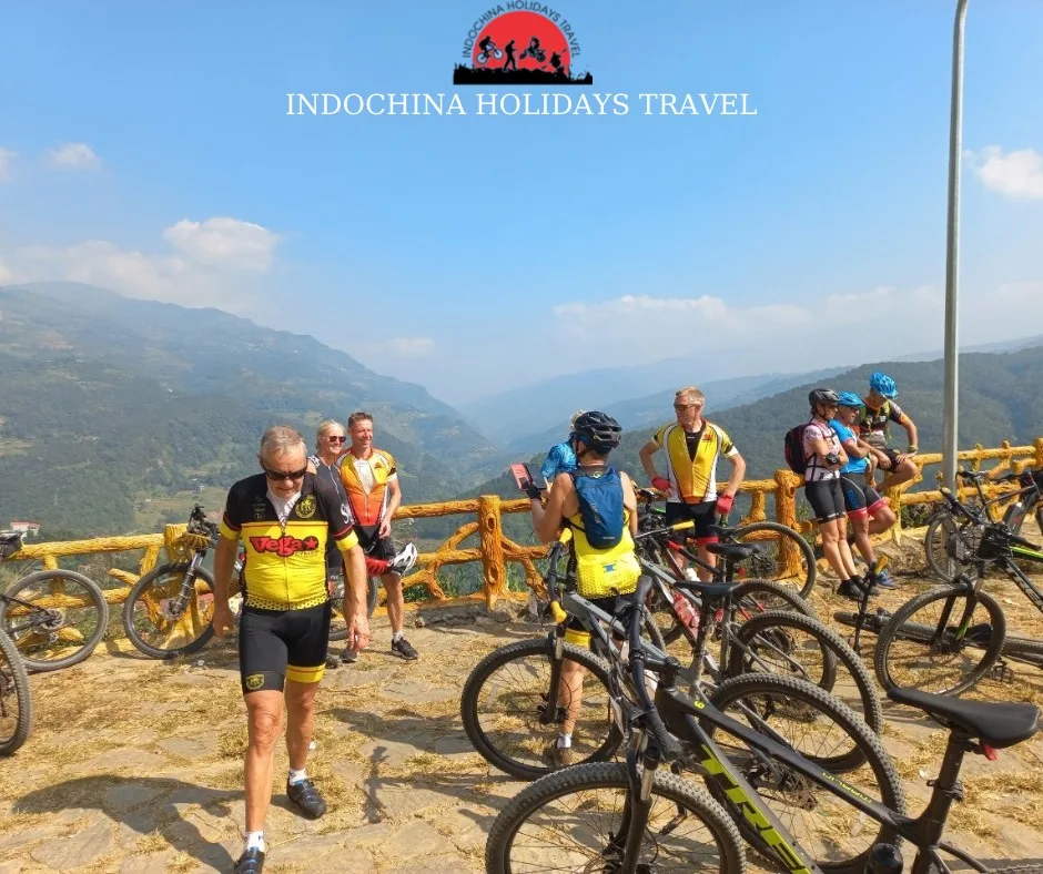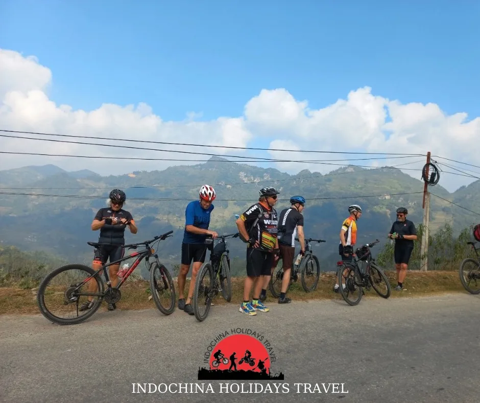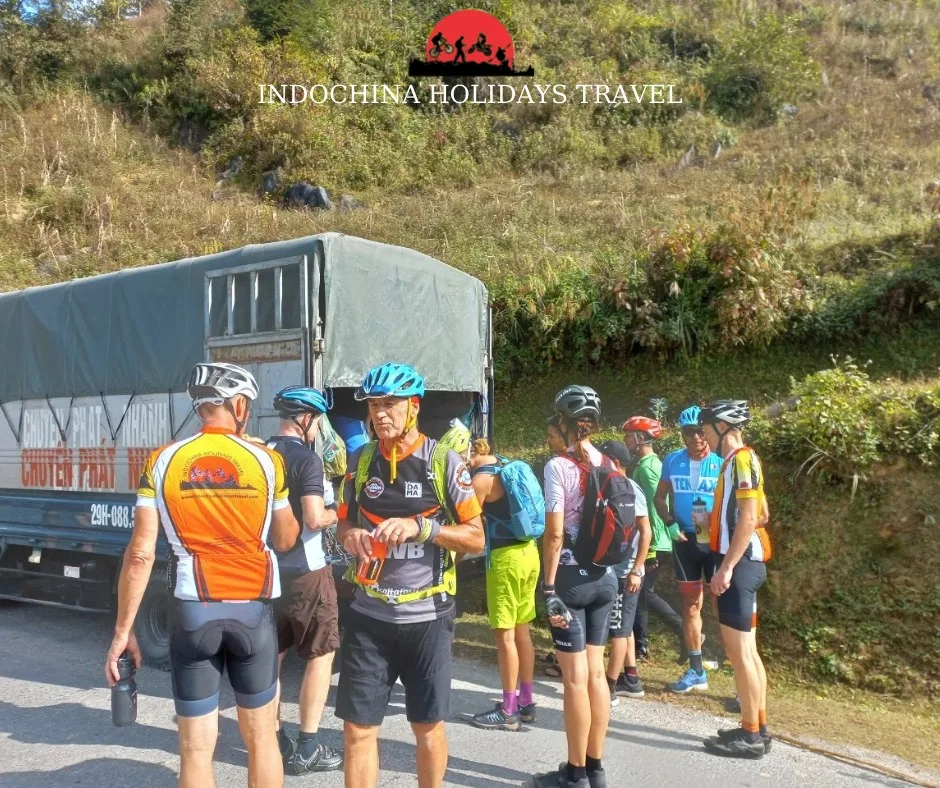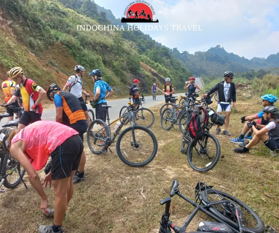
10 Days Spiti Valley - Himachal Pradesh Cycling Tour
Tour begins in the Himachal hill station of Shimla or from Chandigarh, it depends on your arrival point.. If you are flying in, you can land at Chandigarh, our driver will pick you from Chandigarh airport. On Day 1, we drive to Narkanda from Chandigarh or Shimla. You will get your room at pre-booked hotel at Narkanda. you will meet and acquaint with team members, prepare for the cycling tour ahead, and complete paperwork formalities.
- Highlights: Get packed and ready for the fun that awaits you. Orchards and high altitude views from Narkanda.
- National Highways
- Difficulty Level - NA
- Drive Time - 2 hrs
- 60 Kms Total Distance
- 0 Km Cycling Distance
We will have our breakfast at hotel and will get ready for the first day of cycling of this Himachal Spiti cycling tour. Narkanda, which has pleasant weather throughout year, is the perfect place to hit the road. We leave the tourist map well and truly behind us. Places like Rampur have little to boost in terms of tourism related infrastructure. These pit stop, are nothing more than small town-like establishments with basic accommodation and necessities covered. You cycle past local apple orchards and forested hills of the lower Himalayas. The place abounds with conifers, oaks, and maples. The air is bracing, and cycling should be fun for most part of the day, save for some short and steep inclines which actually do the good of preparing you for the journey ahead. We will overnight at pre-booked hotel at Rampur.
- Highlights: First complete day of cycling. More country roads. A day to get conditioned for the days that are going to follow and the view of Sutlej Valleh.
- NH/Mountain Roads
- Difficulty Level - Moderate
- Riding Time - 5-6 hrs
- 66 Kms Total Distance
- 66 Kms Cycling Distance
- 2700 m Starting altitude
- 2700 m Highest altitude
- 980 mabove sea level Resting altitude
Rampur is a scenic place situated on the bank of Sutlej river. Historically, it was located on pilgrimage routes to sacred sites in Western Tibet. You have another day to prep yourself before we start hitting the tougher and longer sections of the tour. We expect it to be a short cycling day Today, what you come upon on this route are water dams and hydel power grids, majestic structures all of them. The first 30 km out of Rampur makes for easy-breezy cycling over gentle slopes until we hit Jhakri from where you pedal through some downhill and uphill gradients for the second half of the day’s journey to Wangtu. We will finish our cycling at Wangtu for the day to get some much needed rest before we start hitting the higher roads and stiffer climbs.
- Highlights: Last day in the lower Himalayas.
- NH/Mountain Roads
- Difficulty Level - Moderate
- Riding Time - 5-6 hrs
- 60 Kms Total Distance
- 60 Kms Cycling Distance
- 980 m Starting altitude
- 1775 m Highest altitude
- 1570 mabove sea level Resting altitude
Finally, the day comes to make some serious altitude gain as we leave behind the foothills of the Himalayas at Wangtu and begin cycling towards Kalpa. Kalpa is a high and beautiful place in the Kinnaur region, popular not just for its views and natural beauty but also for it apples and the rarely grown pine nuts. In the first 30-35km of this stretch, we will gain upto 420 m to reach an altitude of 1990 m. Except for a few short downhill rolls and uphill climbs, this section isn’t really hard-going. What’s tough is the final 15km of the day’s ride. It is a steep uphill ascent in which you gain as much as 835 m to end the day at Kalpa, a high altitude, beautiful place in Kinnaur that offers breathtaking views of 6000-plus meter high Himalayan peaks. Day 4 is the first test of your mettle as a cyclist. More than anything, it prepares you for the high-altitude journey ahead.
- 50 Kms Total Distance
- 50 Kms Cycling Distance
- 1570 m Starting altitude
- 2825 m Highest altitude
- 2825 mabove sea level Resting altitude
- Highlights: First serious climb and The Kinner Kailash mountain with a 70-foot rock sitting vertically on top of it.
- NH/Mountain Road
- Difficulty Level - High
- Riding Time - 6-7 hrs
Cycling on Day 5 begins with the downhill ride of 15 km we ascended the previous day. Thereafter starts the 60 km journey towards our new destination, Pooh. Over this distance we begin to gain altitude slowly and the road turns eastward towards the Indo-Tibetan border. Known as the Hind-Tibet road, this used to be an ancient route connecting India and Tibet for centuries. Pressing on, you’ll notice the landscape change. The greenery of Kinnaur falls behind, replaced by rocky mountains. You almost feel another world coming round the corner. The last 8 km of the day’s cycling will be a steep uphill ride to Pooh.
- Highlights: Riding along the Hind-Tibet road. Getting to the gateway of Spiti.
- Mountain Roads
- Difficulty Level - Moderate
- Riding Time - 6-7 hrs
- 75 Kms Total Distance
- 75 Kms Cycling Distance
- 2825 m Starting altitude
- 2825 m Highest altitude
- 2767 mabove sea level Resting altitude
On Day 6, we gear up for what will be the longest ascent of the journey as we officially enter the high altitude cold desert region of Spiti. The first 5 km out of Pooh will be an easy downhill ride along the Sutlej river up until its confluence with the Spiti river at Khab. The road here is literally carved out of rugged mountain faces. Khab onwards, the road starts rising steadily towards Nako, a gorgeous fertile oasis in a barren landscape. Crossing Nako, the ascent continues, the air gets thinner and it’s here that the physical and mental endurance of a cyclist will be tested. All the cycling of preceding days prepares you for this challenge. We press on through several hairpin bends until Malling Nalah, which is a place notorious for falling stones and sudden closures. A signboard by Border Roads Organization here describes it as “the world’s most treacherous road.” But thanks to our guides and support staff, crossing Malling Nalah shouldn’t be a problem for you. Thereafter, the journey gets easy with a downhill ride of 30-40km all the way to Tabo, which is home to a tenth century Buddhist monastery. Arrival here is a welcome respite after a long day’s cycling.
- Highlights: Confluence of Sutlej and Spiti, Kazig Loops, Tabo Monastery and Ancient Caves.
- Mountain Road
- Difficulty Level - High
- Riding Time - 8 hrs
- 100 Kms Total Distance
- 100 Kms Cycling Distance
- 2767 m Starting altitude
- 3870 m Highest altitude
- 3280 mabove sea level Resting altitude
- Highlights: The panoramic view from Dhankar, Monastery and Lake.
- Mountain Road
- Difficulty Level - Moderate
- Riding Time - 5 hrs
- 50 Kms Total Distance
- 50 Kms Cycling Distance
- 3280 m Starting altitude
- 3700 m Highest altitude
- 3700 mabove sea level Resting altitude
Leaving behind the hustle and bustle of Kaza on the morning of Day 8, we start the climb to Key Monastery. This is the largest and best known gompa in the region and merits a quick visit before we press on towards the twin villages of Kibber and Chicham. These villages are situated close to each other but are separated by a massive and deep gorge, a telling instance of geography deciding accessibility in these parts. A suspension bridge inaugurated in 2017 now straddles the gorge. It is often described as the highest altitude bridge in Asia and just crossing it is sure to give you a high. After Chicham, the road enters the rolling plains of Ladarcha, which has been the hub of historical barter trade for the people of Spiti, Ladakh and Tibet. To this day, a festival is organized annually where merchants come from these places to barter goods. Ladarcha onwards, the road descends to Kiato after which it isn’t so much a road anymore as a gravelly track. The last leg of the day’s journey from Kiato to Losar is rough, so you better sit tight and hold fast.
- Highlights: Key Monastery and Chicham bridge.
- Mountain Road
- Difficulty Level - Extreme
- Riding Time - 6 hrs
- 60 Kms Total Distance
- 60 Kms Cycling Distance
- 3700 m Starting altitude
- 4079 m Highest altitude
- 4079 mabove sea level Resting altitude
On the last day we bid adieu to Spiti. No more cycling from here on. We will drive you to the Kunzum La (La means a mountain pass in Tibetan) which is situated at the altitude of 4590 m and is the highest point of this journey. We visit the temple on this pass and enjoy the view of distant glacial peaks. From here we head to the Chandra Tal,a crescent shaped lake situated at the height of 4300 m. This scenic lake and its surrounding meadows mark the highpoint of journey for many travelers and is a fitting end to our cycling tour. From Chandra Tal we will be making the bumpy and adventurous drive to Manali, over the well-known Rohtang Pass, which we call the gateway back to your urban lives. You will spend your last day of cycling at pre-booked hotel in Manali. Overnight at Hotel.
- Highlights: Kunzum La, Chandra Tal, Rohtang Pass and Manali.
- Mountain Road
- Difficulty Level - Extreme
- Drive Time - 10-11 hrs
- 175 Kms Total Distance
- 0 Kms Cycling Distance
- 3700 m Starting altitude
- 4079 m Highest altitude
- 1900 mabove sea level Resting altitude
Notes:
- If you want to book hotel, car or additional stay that can be arrange on request.
- To organize any private tour we need minimum 2 persons.
- Arrangement for domestic flight ticket or extension tour can be done on request.
- For private and exclusive tour on your request we can change hotel or even we can work on itinerary to add or remove some destination or any services.
Please consider the environment before printing
Departure Date : Based on your inquiry
Tour Price : Contact us
Bikes: Mountain Bikes
Bike Sizes: 13-21
Batch Size: Min 04- Max 08
- Luxury Tempo Traveller for Participant
- Dedicated Camping Vehicle
- Brilliant condition Trek Bike (Marlin 6,7 and 4300 D)
- Twin Sharing Tents/Hotel during the Tour
- Best Expedition Leaders and Supporting staff, We can assure they will not treat you as clients but as guests and as own family member.
Accommodation
Accommodation is offered at all locations. Our costs are based on 'twin-sharing' basis. For those who wants single room, we offer single room, but at extra cost.
Terrain
From 2250Mts to 4580Mts, Extreme, Scenic Mountain Terrain
Climate
Cold, Temperature Can go to Zero to Degree
Transportation/Support Vehicles
All transport is involved in the cost. We provide backup vehicle at all times during cycling trip. If in any case if you dont feel like riding you can always come in car/Bus and we can drive
Food
Food is a very essential part of these trips. We make sure that the meals we offer is healthy and hygiene, clean and well cooked. We will only offer Veg meal except Egg.
What to bring
- Footwear
- Bike shoes
- Helmet
- Pedal
- Water Bottle
- Sun cream lotion
- Relaxed shoes for walking
- Shoes for other sightseeing
- Socks
Clothing
- Bring your Cycling shorts, Tshirts and Must bring good quality warm clothes
- Water resistant jacket.
- Safety gloves and shorts.
Others
- Torch
- Eyewear, cap
- Sun lotion of spf at least 35
- Helmets
Health
Before this trip, please go to your family Doctor and check your Blood Presssure, heart rate etc. If you have any issue related to breathing than we will advise you not to join this trip
Precautions
- Bring all the important medications and OTC medications. Do not ignore to have the brands as well as the general titles of the medications one needs to have.
- Use a sun hat when revealed.
- Consume a lot of liquids. Don't drink tap water. Use only bottled water which is always kept in the back of your automobile.
- Bring your personal medical kit and pest resilient.
- To avoid fungus and parasitic attacks, keep legs clean and dry, and do not go without shoes.
- Do not eat food bought from road providers.
- Do not drink drinks with ice.
- Do not eat milk products unless it is known that they have been pasteurized.
Medical Information Update
Details given above are liable to change every now and then and one should contact the Native India tasks of the specific country or the government vacationer offices for more details.
Spending Money
Every visitor will have different cash specifications and varying personal costs. Please assess your own spending routines while enabling for beverages etc. Also keep aside cash for extra costs like:
- Foods which are not included
- Emergencies
- Optionally available activities /additional sightseeing
- Shopping/Souvenirs
Foreign Exchange
As Indian currency value tend to go up and down, make reference to the following website for daily return rates: www.xe.com.
Airport Taxes
There is no airport terminal or leaving taxation from any airport terminal of India.
Tour Cost Includes:
- Hotel Based on Twin Sharing
- All Meals(Breakfast and dinner at Hotel)
- Pack Lunch
- Bicycle is included in Tour Cost
- Expert Cycle mechanic throughout the tour
- Back up AC vehicle for complete tour
- Expert Cycling Guide throughout the tour
- Fresh Fruits/Snacks (Only Cycling Part)
- Unlimited Bottle water during cycling (Only Cycling Part)
- All road and transport taxes
- Entry Fee,if any (Upto the amount charged for Indian nationals)
- Camping Charges,if any (Upto the amount charged for Indian nationals)
- Separate Camping Vehicle
- Services of support team include expedition cook,helper
- Oxygen Cylinder
- Driver Allowance
- Toll and Parking charges
Tour Cost Excludes:
- Any Domestic or International flight tickets
- Meals as mentioned in itinerary
- Any Kind of Insurance
- Emergency evacuation
- Any expense of personal nature
- Any expense not specified in the inclusion list
- Tips and Gratitude
- Travel insurance
- Any Hard and Soft Drink